Stormwater Management
[[translate(episode,'title')]]
[[translate(episode,'audioCredit') || translate(episode,'credit')]][[translate(episode,'title')]]
[[translate(episode,'audioCredit') || translate(episode,'credit')]]Audio Transcript
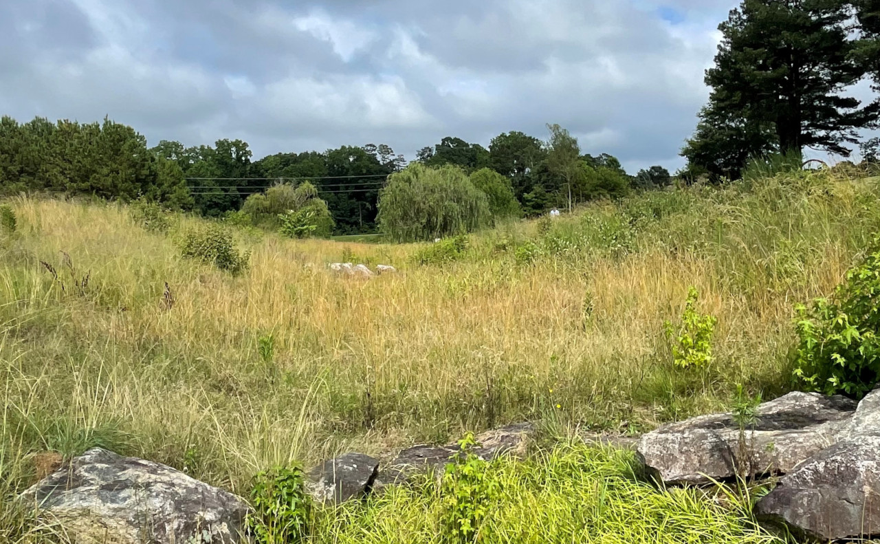
You are standing on a paved path with the pond to your right and the Amphitheater to your left. In front of you is a swale, which can be described as a u-shaped ditch built into the terrain. Not very deep, this swale gently transports water to the pond. Please be sure to stay on the trail.
Stormwater Management: When the Museum converts its land to hard surface, it considers how stormwater runoff will be affected. Hard surfaces include elements of the built environment where water cannot percolate into the ground. A swale is planted with native plants to capture rainwater from the surrounding landscape, buildings, and parking lots. The deep root systems of these native grasses slow the flow of water, allowing it to soak into the ground and filter sediment out of the water.
If you would like, reach out and touch the diagram on the right half of the sign. The diagram features six native plants and one turf grass and highlights the heights of each plant and the varying depths of their root systems. From left to right: Kentucky blue grass, a commonly used turf grass; big bluestem; white wild indigo; switchgrass; little bluestem; rosin weed; and cylindric blazing star. You can feel the shapes of the plants and how long the roots are. At the far right of the chart is a five-foot, eight-inch-tall human, for reference. Can you tell that some of the plants reach the same height as a typical adult? What about the roots? Some of the grass roots can grow over 10 feet long.
Now continue walking straight toward the pond. The next sign is located 360 feet on your left. It is situated in front of the pond loop near a willow tree and to the right of a set of stairs.